The purpose of this plan is to optimise the acquisition of spatial imagery for government entities in Queensland.
Read about our plan for imagery and LiDAR acquisition.
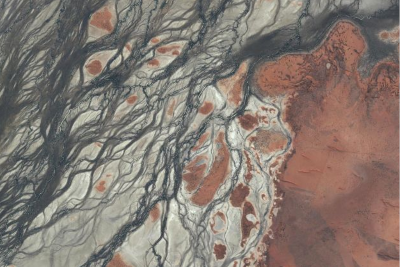
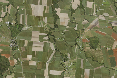
Find out about the whole of state satellite imagery we have available.
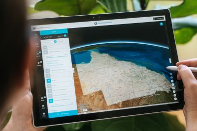
Find out more about accessing the latest imagery.
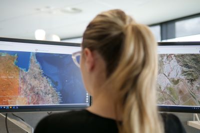
Contact us to coordinate projects and join the program.